 DOCUMENTATION
The airport digital twin
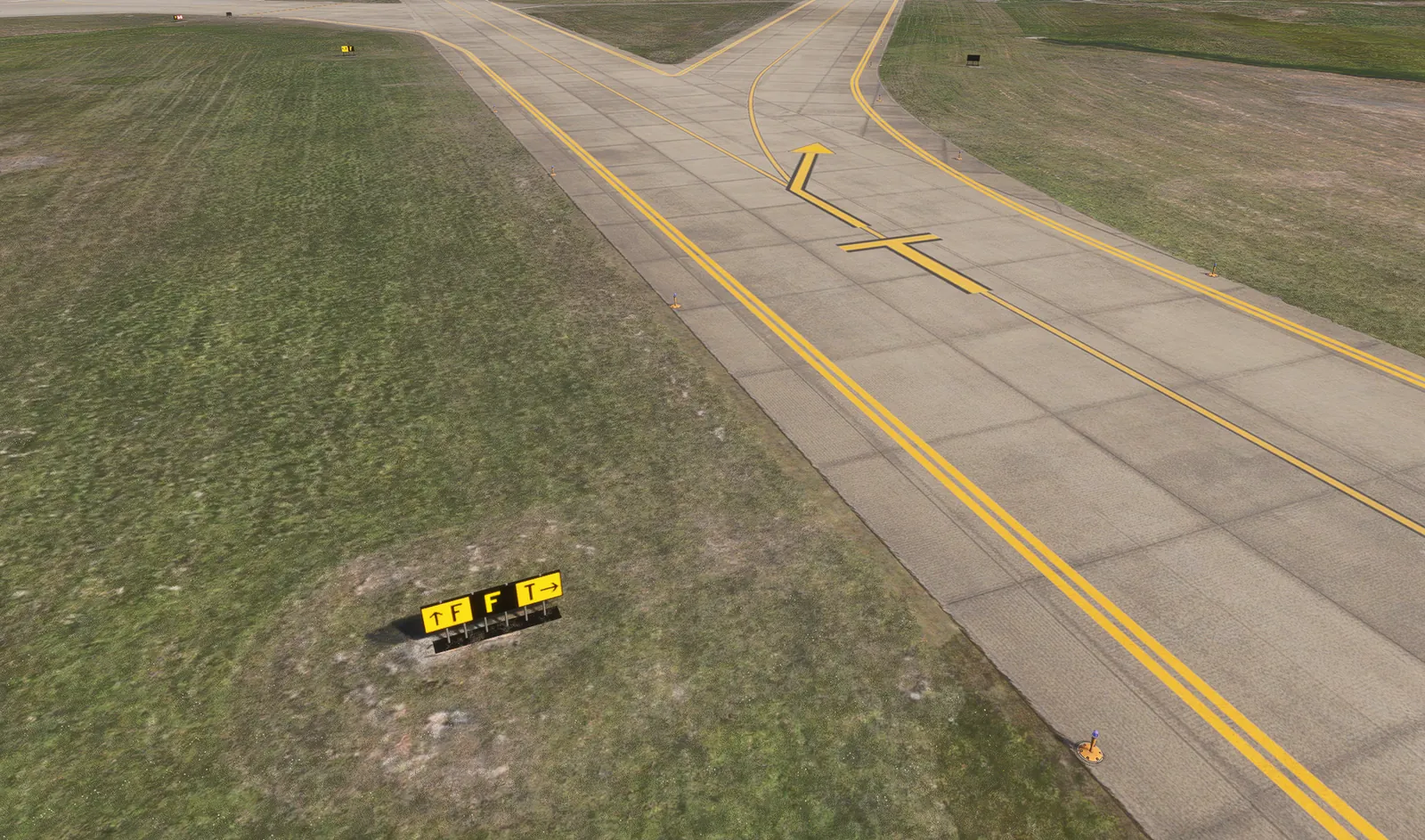
Your airfield is reproduced 1:1 from operational drawings and survey data and loaded into the engine as scenery: runways, taxiways, aprons, service roads, buildings and terrain, with signage, markings and lighting placed as on the live airfield.
What is modeled
| Area | Details |
|---|---|
| Airfield | Runways, taxiways, aprons, service roads, hold points and hotspots on the current layout |
| Terminal area | Terminal, gates, boarding bridges and apron markings for ground handling missions |
| Fire station | Animated bay doors and response routes for the ARFF program |
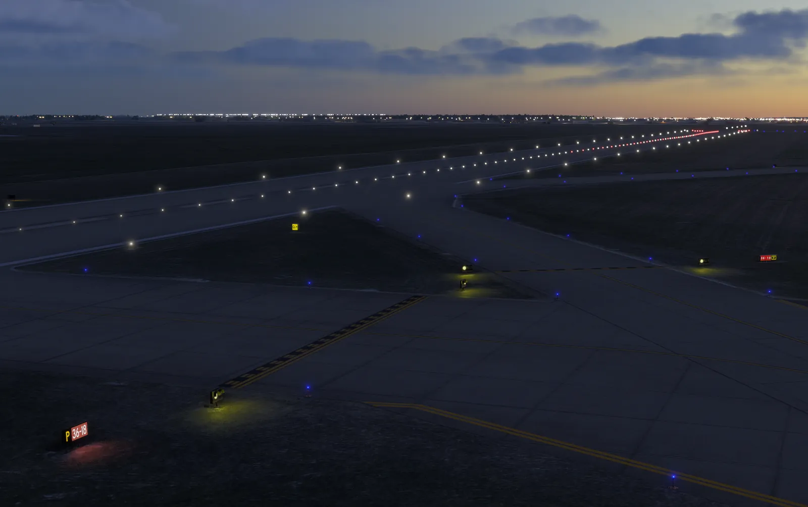
| Signage and lighting | Signs, markings, centerline and edge lights, stop bars, guard lights and apron floods for night missions |
| Buildings and landmarks | Terminal, hangars, fire station and landmarks |
| Weather and season | Winter missions with snow, reduced visibility and contaminated surfaces |
Outside the airport boundary, trainees see the photorealistic world provided by Microsoft Flight Simulator 2024.
Keeping the twin current
The digital twin is updated when the airport layout changes. A new taxiway, a relocated stand or a construction closure is added so drivers learn the new routing before it goes live.